
Union Minister Dr. Jitendra Singh unveiled two state-of-the-art Artificial Intelligence (AI) weather forecasting models on May 14, 2026, to deliver hyper-local monsoon and rainfall predictions. These indigenous systems, developed by India’s premier meteorological institutes, provide block-level data for the first time to assist farmers and administrators in precise decision-making. By integrating advanced machine learning with traditional atmospheric science, India has moved toward a more granular and impact-based weather forecasting regime.
AI-Enabled Monsoon Advance Forecasting System: A Leap in Block-Level Prediction
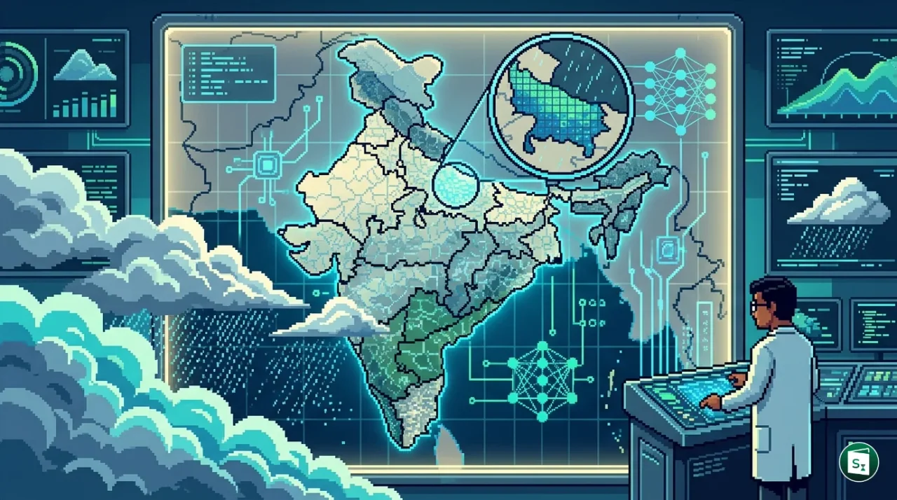
The AI-Enabled Monsoon Advance Forecasting System represents a historic shift in how India tracks the progression of the southwest monsoon. For the first time, the country has moved beyond broad district-level estimates to provide sub-district or block-level forecasts. This system covers 3,196 blocks across 16 states, including one Union Territory, specifically focusing on the rainfed monsoon core zone.
This core zone is vital for India’s food security as it depends almost entirely on seasonal rains for agriculture. The new system provides probabilistic forecasts up to four weeks in advance, with a remarkably low error margin of four days. These updates are issued every Wednesday, allowing farmers to receive timely intelligence on the arrival and intensity of monsoon winds in their specific localities.
The transition to block-level precision is expected to significantly reduce the risks associated with unpredictable monsoon patterns. By knowing the progression timeline a month in advance, agricultural stakeholders can better coordinate sowing schedules and water management strategies. This is especially crucial in regions where even a week’s delay in monsoon arrival can drastically impact crop yields.
High-Resolution Rainfall Forecast: The Mithuna Model Pilot in Uttar Pradesh
In tandem with the monsoon tracking system, the government launched a pilot project for High Spatial Resolution Rainfall Forecast in Uttar Pradesh. This initiative utilizes the indigenous Mithuna weather model, a next-generation global coupled system developed for enhanced medium-range forecasting. While the base Mithuna model natively operates on a 12.5-km grid, the pilot project employs AI-driven downscaling to refine this to a 1-km spatial resolution.
This hyper-local accuracy is made possible by integrating data from a dense network of Automatic Weather Stations (AWS) and Automatic Rain Gauges (ARG) across Uttar Pradesh. These observations are combined with data from Doppler Weather Radars and high-resolution satellite datasets to produce specific rainfall forecasts valid for up to 10 days in advance.
| Feature | Details |
|---|---|
| Primary Model | Mithuna Forecast System (Mithuna-FS) |
| Grid Resolution | Downscaled from 12.5 km to 1 km |
| Lead Time | Up to 10 days in advance |
| Pilot Region | Uttar Pradesh |
| Data Sources | AWS, ARG, Doppler Radars, Satellite Imagery |
The 1-km resolution allows administrators to identify specific localities at risk of extreme rainfall or dry spells. Such granular data is indispensable for precision agriculture, urban drainage management, and proactive disaster mitigation. By identifying rainfall patterns at the village or ward level, the system empowers local authorities to issue targeted warnings and optimize water resource distribution.
Strategic Context: Impact-Based Forecasting and Mission Mausam
These AI-enabled initiatives are key components of the Government of India’s Mission Mausam, an ambitious program aimed at modernizing the nation’s weather and climate forecasting capabilities. The mission represents a paradigm shift from traditional weather reporting to impact-based forecasting. Instead of merely predicting that it will rain, the new systems help stakeholders understand how that rain will impact specific sectors like agriculture, transport, and energy.
The new models complement the existing Bharat Forecasting System (BharatFS), which operates at a 6-km resolution. By adding the 1-km hyper-local layer and block-level monsoon tracking, the government is building a multi-tiered decision-support framework. Over the past decade, India has already seen a nearly 40 percent improvement in the accuracy of forecasts for severe weather events. These new AI tools are designed to further enhance this accuracy by leveraging global AI foundation models and massive observational datasets.
The socio-economic stakes are high, as nearly half of India’s workforce depends on agriculture, much of which is rain-dependent. By providing actionable intelligence through user-friendly platforms like mobile apps, WhatsApp, and Kisan portals, the government ensures that these technological advancements translate into real-world benefits for the common citizen.
Institutional Framework and Technical Infrastructure
The development of these AI models is the result of a coordinated effort between India’s premier scientific institutions under the Ministry of Earth Sciences (MoES). The India Meteorological Department (IMD), established in 1875 and headquartered in New Delhi, serves as the nodal agency for weather forecasting. It collaborated with the Indian Institute of Tropical Meteorology (IITM) in Pune, which focuses on fundamental research in tropical meteorology, and the National Centre for Medium Range Weather Forecasting (NCMRWF) located in Noida.
The technical backbone of these systems is the Arunika Supercomputer housed at the NCMRWF. This high-performance computing facility allows scientists to run the Mithuna-FS coupled model and integrate it with global AI foundation models like Pangu-Weather, GraphCast, and FourCastNet. These AI models are initialized using the NCMRWF’s own data to provide rapid, probabilistic forecasts for extreme events like heatwaves and heavy rainfall.
| Institution | Role and Location |
|---|---|
| IMD | Nodal agency for operational weather services; headquartered in New Delhi |
| IITM | Research in tropical meteorology and climate dynamics; located in Pune |
| NCMRWF | Centre for development of advanced numerical weather prediction models; located in Noida |
| MoES | Parent ministry governing all meteorological and earth science initiatives |
The integration of such diverse data sources—ranging from ground-based sensors like Automatic Rain Gauges to space-based satellite observations—ensures that the AI models have a comprehensive view of the atmosphere. This holistic approach is essential for achieving the 1-km resolution required for modern urban and agricultural planning.
Key Takeaways
- The AI-Enabled Monsoon Advance Forecasting System provides block-level monsoon tracking for the first time in India.
- This system covers 3,196 blocks across 15 states and 1 Union Territory within the rainfed monsoon core zone.
- Forecasts for monsoon progression are issued every Wednesday with a lead time of four weeks and an error margin of four days.
- A pilot project in Uttar Pradesh uses the Mithuna weather model to provide rainfall forecasts at a 1-km resolution.
- These AI-enabled initiatives are part of the broader Mission Mausam to transition toward impact-based forecasting.
- The India Meteorological Department (IMD), established in 1875, operates under the Ministry of Earth Sciences (MoES).
- The Arunika Supercomputer, located at the NCMRWF in Noida, provides the necessary computing power for these advanced models.