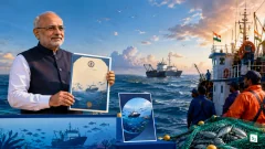
The Government of Odisha signed a Memorandum of Understanding (MoU) with the National Centre for Coastal Research (NCCR) on 16 April 2026 to implement a comprehensive Marine Spatial Plan (MSP) for the state. This agreement makes Odisha the first Indian state to enter the second phase of the national sustainable ocean planning initiative, an ambitious programme being developed in collaboration with Norway. The plan is designed to optimize the economic potential of the coastal zone while safeguarding the region’s fragile marine biodiversity.
Advancing India-Norway Sustainable Ocean Cooperation
The Marine Spatial Plan is part of the broader India-Norway Sustainable Ocean Initiative, which was formalized through a bilateral agreement in 2019. This partnership focuses on the Blue Economy, a concept that advocates for the sustainable use of ocean resources for economic growth while preserving the health of the marine ecosystem. To drive this vision, the two countries established the India-Norway Blue Economy Task Force in 2020, aiming to enhance cooperation in areas such as marine research, maritime transport, and sustainable fisheries.
Odisha’s adoption of the MSP marks a significant milestone in this international cooperation. By participating in this project, the state government aims to replicate and scale global best practices in ocean management. The initiative is being executed by the Ministry of Earth Sciences (MoES) through the National Centre for Coastal Research, which provides the scientific data and mapping required to allocate marine space effectively.
Understanding Marine Spatial Planning
Marine Spatial Planning (MSP) is a public process of analyzing and allocating the spatial and temporal distribution of human activities in marine areas to achieve ecological, economic, and social objectives. It serves as a scientific framework to manage competing interests in the ocean, such as commercial shipping, offshore energy production, tourism, and artisanal fishing. By creating a multi-sectoral map of ocean usage, MSP ensures that development in one sector does not negatively impact another or damage the underlying marine environment.
In the context of the Blue Economy, MSP acts as a roadmap for sustainable development. It helps authorities identify the most suitable locations for specific activities, thereby reducing administrative hurdles for industries while establishing clear conservation zones. For a coastal state, this means being able to expand port infrastructure or promote coastal tourism without encroaching on protected breeding grounds or traditional fishing waters.
Phased Implementation of the National Initiative
India’s sustainable ocean planning initiative is being implemented in a phased manner by the National Centre for Coastal Research. The first phase of the programme focused on the Union Territories of Puducherry and Lakshadweep, where pilot projects were carried out to develop and refine the mapping tools and regulatory frameworks. Following the success of these pilots, the Ministry of Earth Sciences has now expanded the programme to a second phase, with Odisha being the first state to provide a legal and institutional framework for its implementation.
The following table summarizes the key differences between the two phases of the initiative:
| Phase | Coverage Areas | Primary Objective |
|---|---|---|
| Phase I | Puducherry, Lakshadweep | Pilot testing and methodology development |
| Phase II | Odisha (and other coastal states) | Full-scale state-level implementation and scaling |
During the second phase, the NCCR will assist the Odisha government in collecting high-resolution seabed data, monitoring water quality, and identifying zones for emerging sectors like marine biotechnology and offshore wind energy. This phase aims to transform Odisha’s coast into a hub for sustainable maritime innovation.
Strategic Importance of the Odisha Coastline
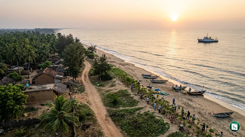
Odisha possesses a strategically vital coastline extending approximately 574.7 kilometres along the Bay of Bengal. This region is home to major industrial hubs such as Paradip Port, Dhamra Port, and Gopalpur Port, which are critical for India’s trade and energy security. Simultaneously, the state hosts some of the world’s most ecologically sensitive zones, including the Chilika Lake, which is Asia’s largest brackish water lagoon, and the Gahirmatha Marine Sanctuary, the world’s largest nesting ground for Olive Ridley turtles.
The implementation of the Marine Spatial Plan is particularly crucial for Odisha due to its vulnerability to climate change and frequent cyclones. MSP will enable the state to build climate resilience by identifying and protecting natural buffers like mangroves and sand dunes while planning infrastructure that can withstand extreme weather events. It also provides a framework for the Odisha Marine Biotechnology Research and Innovation Corridor (OMBRIC), an initiative aimed at promoting marine-based industrial growth, to develop high-value marine products and sustainable pharmaceuticals.
The Role of the National Centre for Coastal Research
The National Centre for Coastal Research (NCCR) is an attached office of the Ministry of Earth Sciences, Government of India. It was originally established in January 1998 as the Integrated Coastal and Marine Area Management (ICMAM) Project Directorate to address the environmental management needs of India’s coastal regions. Headquartered in Chennai, Tamil Nadu, the institution was later renamed NCCR to reflect its long-term organization framework for multi-disciplinary coastal research.
As a premier scientific body, the NCCR is responsible for monitoring marine pollution, assessing coastal erosion, and developing shoreline management plans. Its expertise in Remote Sensing and Geographic Information Systems (GIS) is central to creating the digital maps required for Marine Spatial Planning. The centre operates under the administrative control of the MoES, which is currently headed by the Union Minister of State (Independent Charge) Dr. Jitendra Singh.
Key Takeaways
- The Odisha government signed an MoU with the National Centre for Coastal Research (NCCR) on 16 April 2026 to implement a Marine Spatial Plan (MSP).
- Odisha is the first Indian state to initiate the second phase of the national sustainable ocean planning initiative.
- The project is part of the India-Norway Sustainable Ocean Initiative, which was formalized through a bilateral agreement in 2019.
- Marine Spatial Planning is a scientific framework used to balance industrial development with marine ecological conservation.
- The National Centre for Coastal Research is headquartered in Chennai and operates under the Ministry of Earth Sciences (MoES).
- Odisha’s coastline has been recently revised to a length of approximately 574.7 kilometres.