

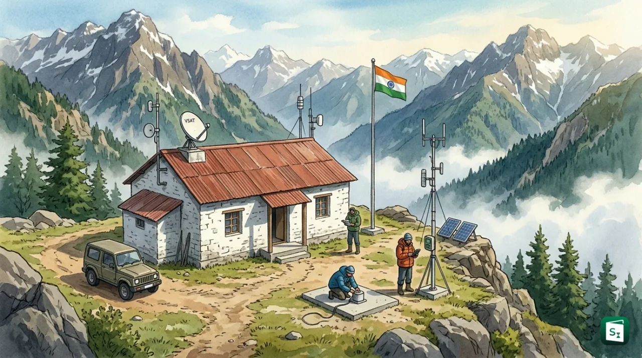
Union Minister of State Dr Jitendra Singh inaugurated the 183rd seismological observatory in India at Kishtwar in Jammu and Kashmir on 2 November 2026. The station uses modern digital seismic instruments and sends real time ground motion data to the National Centre for Seismology in New Delhi. The Kishtwar facility is the fourth such observatory in Jammu and Kashmir and fills a critical gap in one of the Himalaya’s most earthquake prone valleys.
What Is the New Seismological Observatory in Kishtwar?
The National Centre for Seismology opened its 183rd field station at Kishtwar on 2 November 2026. Union Minister Dr Jitendra Singh inaugurated the station through the Ministry of Earth Sciences in the presence of senior officials, Jammu and Kashmir Leader of Opposition Sunil Sharma and Kishtwar MLA Shagun Parihar.
The observatory is fitted with broadband seismometers and strong motion accelerometers mounted on a concrete pier fixed to bedrock. These digital instruments record ground shaking continuously and stream the data in real time to the 24x7 Earthquake Monitoring Centre of the National Centre for Seismology at Lodhi Road in New Delhi. The link uses VSAT satellite telemetry with backup connectivity, so data flow continues even if local phone and power lines fail.
With this addition, Jammu and Kashmir now has four seismological observatories at Jammu, Srinagar, Udhampur and Kishtwar. The National Seismological Network has grown from 84 stations in 2014 to 183 stations in 2026. Ministry of Earth Sciences Secretary Srinivasa Kumar Tummala said the present network can record earthquakes of magnitude 3.0 and above anywhere in the country, compared to a limit of magnitude 4.0 and above in 2014.
The Kishtwar centre will monitor local tremors round the clock, sharpen understanding of active faults in the Chenab valley and supply rapid information to the district administration and rescue teams. The data will also guide safer design of houses, schools, hospitals and hydropower structures in the area.
What Is Seismology and How Does a Seismograph Work?
Seismology is the scientific study of earthquakes and the movement of seismic waves through the Earth. The field covers where earthquakes start, how their energy travels, what type of ground shaking they cause and how buildings and slopes respond to that shaking.
A seismological observatory is a fixed station that houses sensitive ground motion sensors and records tremors day and night. The National Centre for Seismology operates more than 180 such stations across India under the National Seismological Network. The Kishtwar unit is the newest member of this network.
A seismometer is the sensor that detects motion, while a seismograph is the complete system that detects, amplifies and records that motion as a digital trace called a seismogram. Modern stations use three sensors in one package to record shaking in three directions, north to south, east to west and up to down.
The working principle is inertia. Inside the sensor, a heavy magnetic mass hangs on a spring within a case anchored to bedrock. During an earthquake the case moves with the ground but the heavy mass tends to stay still. The small relative movement between the case and the mass creates an electric signal. Computers convert that signal into ground displacement, velocity and acceleration.
Earthquakes produce different waves. P waves are fast compression waves and reach the station first. S waves are slower shear waves and arrive next. Surface waves follow and often cause the strongest shaking. By measuring the time gap between P and S arrivals at three or more stations, the National Centre for Seismology fixes the epicentre and depth within minutes. Data from Kishtwar will shorten this calculation time for western Himalayan quakes.
Where Is Kishtwar and Why Is It a High Seismic Zone?
Kishtwar is a mountain district in the Chenab valley of Jammu division in Jammu and Kashmir, about 230 km by road from Jammu and 90 km from the pilgrim village of Chisoti on the Machail Mata route. The district sits amid the Pir Panjal and Greater Himalayan ranges at heights from about 1,800 metres to more than 3,800 metres. The Chenab river and its tributary the Marusudar cut deep gorges through the area.
A seismic zone is an area marked on a hazard map where a similar level of earthquake shaking can be expected in future. The Bureau of Indian Standards publishes the official map in IS 1893 Part 1: 2016, the code for earthquake resistant design. The code divides India into four zones.
| Zone | Risk Level | Zone Factor (Z) | Expected MSK Intensity |
|---|---|---|---|
| Zone II | Low damage risk | 0.10 | VI or less |
| Zone III | Moderate damage risk | 0.16 | VII |
| Zone IV | High damage risk | 0.24 | VIII |
| Zone V | Very high damage risk | 0.36 | IX and above |
About 59 percent of India’s land area is earthquake prone. Roughly 11 percent lies in Zone V, 18 percent in Zone IV and 30 percent in Zone III. Zone V covers the Kashmir valley, northeast India, Kutch in Gujarat, parts of north Bihar and the Andaman and Nicobar Islands. Most of the remaining parts of Jammu and Kashmir, including Jammu city and Delhi, lie in Zone IV.
Within the Union Territory, Doda, Ramban and Kishtwar districts along with most of the Kashmir valley fall in Zone V, while the rest of Jammu division falls in Zone IV. The higher zone factor means engineers must design for stronger lateral force, with Zone V demanding 3.6 times the design force of Zone II. The IS 1893 Part 1: 2016 map remains the valid standard after the Bureau of Indian Standards withdrew its revised 2025 code in March 2026.
Kishtwar lies close to active thrusts such as the Main Boundary Thrust and the Kishtwar Fault, where the Indian plate pushes into the Eurasian plate at about 47 mm per year. The region has produced repeated tremors, including a magnitude 5.8 quake in May 2013, a magnitude 5.5 quake in 2014, a magnitude 5.3 quake in 2020 and frequent events of magnitude 3 to 4 in 2022. The 2005 Muzaffarabad earthquake of moment magnitude 7.6 also caused heavy loss in Jammu and Kashmir.
The same belt hosts major hydropower construction, including the 1,000 MW Pakal Dul, 624 MW Kiru, 540 MW Kwar and Dul Hasti projects on the Chenab system. Many sites sit on or near fault lines, so continuous seismic records help assess ground risk around reservoirs and tunnels. Kishtwar also holds 197 glacial lakes, the highest count in the Union Territory, and suffered a deadly cloudburst at Chisoti on 14 August 2025 that killed at least 65 people. Dense seismic and weather data therefore protect both people and high value infrastructure.
Which Agency Runs the Network: National Centre for Seismology and Ministry of Earth Sciences?
The National Centre for Seismology is the nodal agency of the Government of India for earthquake monitoring. The Centre functions under the Ministry of Earth Sciences, is headquartered at Lodhi Road in New Delhi and was set up in August 2014 to unify the national network.
The Ministry of Earth Sciences is the parent ministry for weather, ocean, polar and earthquake services. It controls the India Meteorological Department (IMD), founded in 1875 and headquartered in New Delhi, for weather and cyclone warnings, and the National Centre for Seismology for earthquake monitoring and research. The Central Seismological Observatory at Shillong, opened in 1902 as the second observatory in India, maintains a 20 station sub network for the northeast as part of the national grid.
The National Centre for Seismology runs the National Seismological Network on a 24x7 basis. Field stations use broadband seismographs and strong motion accelerographs. Data travel by VSAT satellite to the Earthquake Monitoring Centre in New Delhi, where software picks P arrivals, locates the event and pushes alerts to the NCS website, the BhooKamp mobile app and State Emergency Operation Centres by SMS, email and fax. The Centre issues monthly seismic bulletins and special reports for significant events. Between January 2020 and June 2025 the Centre reported more than 80,000 earthquakes in the region from latitude 0 to 40 degrees north and longitude 60 to 100 degrees east.
The Centre also carries out seismic microzonation, which maps how local soil and depth to bedrock can amplify shaking street by street. Microzonation is complete for Delhi, Bengaluru, Kolkata, Guwahati, Jabalpur, Dehradun, Ahmedabad, Gandhidham and Gangtok, with about 30 more cities taken up since 2018. Funds for upkeep and growth of the network come under the PRITHVI scheme of the Ministry of Earth Sciences.
How Will 100 New Observatories Improve Earthquake Detection?
The Ministry of Earth Sciences plans to add 100 permanent seismological observatories to the National Seismological Network in the next phase. The tender calls for broadband seismometers, strong motion accelerometers, six channel data loggers with GNSS timing, solar power and GSM telemetry at each site. The list includes four new stations each in Jammu and Kashmir and Ladakh to close gaps in the western Himalaya.
Denser spacing lowers the detection limit. In 2014 the network could reliably record earthquakes of magnitude 4.0 and above. That limit improved to magnitude 3.0 and above for most of the country after the network grew to 168 to 183 stations. The planned expansion aims for magnitude 2.5 and above, so smaller foreshocks, swarms and aftershocks become visible to scientists.
Lower limits help scientists in direct ways. Small quakes often outline an active fault before a larger rupture, which improves hazard maps for dams, tunnels and towns. More stations near the source give faster and more accurate location, depth and magnitude, which speeds up ShakeMaps that show expected intensity block by block. Continuous data from quiet sites also help researchers separate natural tectonic movement from blasts and reservoir induced tremors.
Data from all stations flow to the central processing system in New Delhi, which runs automatic location software and shares verified parameters within minutes. District officials in places like Kishtwar can then decide on inspections of roads, bridges and power houses, while the public can check verified facts on BhooKamp instead of rumours on social media.
What Are Doppler Weather Radars and How Do They Help Kishtwar?
A Doppler Weather Radar is a remote sensing device that sends radio pulses and studies the echo from rain, snow, hail and cloud droplets. The change in frequency between the transmitted pulse and the echo reveals whether precipitation is moving toward or away from the radar and how fast it moves.
The India Meteorological Department uses three bands. S band radars give long range coverage of about 400 km and track cyclones. C band radars cover about 250 km and track heavy rain and storms. X band radars cover about 100 km with fine detail and detect thunderstorms, lightning and snowfall. All three update images about every 10 minutes and feed nowcasts, which are very short range forecasts for the next one to three hours.
Jammu and Kashmir had no Doppler coverage in 2014. Four stations now operate at Banihal, Jot, Jammu and Srinagar. Four more will be commissioned in 2027 at Doda, Kishtwar, Anantnag and Baramulla, taking the Union Territory total to eight. The same upgrade raised Automatic Weather Stations from 3 to 12, including four in Kishtwar and two each in Doda and Ramban, and rain gauge stations from 9 to 15 across five districts.
The network supports the High Altitude Cloud Physics Laboratory at Patnitop and the Regional Meteorological Centre at Jammu. Weather forecasts now reach panchayat level in the five districts, with agromet advisories delivered to 5,467 beneficiaries. For Kishtwar, radar coverage means earlier alerts for cloudbursts, flash floods, landslides and heavy snow, which often block the Machail Yatra track and the Chenab valley highway. Nationally, the Doppler fleet has grown from 14 in 2014 to about 50 and covers about 87 percent of the country under Mission Mausam, which aims for full radar coverage with indigenously built dual polarisation systems.
How Is Earthquake Size Measured: Magnitude and Intensity Scales?
Earthquake magnitude measures the energy released at the source. Earthquake intensity measures the shaking felt and the damage seen at a particular place. A single earthquake has one magnitude but many intensity values that fall with distance from the epicentre.
The Richter scale, proposed by Charles Richter in 1935 for southern California, is a local magnitude called ML. It uses the logarithm of the largest wave amplitude on a seismogram, corrected for distance. Each whole step means about 10 times larger wave height and about 32 times more energy. A magnitude 6 quake releases roughly 32 times the energy of a magnitude 5 quake. The scale works well for small nearby events but undervalues very large distant quakes.
The moment magnitude scale, written as Mw, is now the global standard for medium and large events. It is based on seismic moment, which combines rock strength, area of fault that slipped and distance of slip. The result is scaled to match Richter numbers where they overlap, but it remains accurate up to magnitude 9 and above. Most official reports, including those from the National Centre for Seismology, quote moment magnitude for significant earthquakes.
The Modified Mercalli Intensity scale ranks shaking from I to XII in Roman numerals from felt reports and damage surveys. The Medvedev Sponheuer Karnik scale, used with IS 1893 in India, is similar. Soft lake beds, high water table and weak masonry raise intensity even if magnitude is moderate. The Kashmir valley, with thick lake deposits and shallow groundwater at 1.5 to 4 metres, shows high liquefaction risk where soil can behave like liquid during strong shaking.
| Magnitude (Mw) | How Often Worldwide | Typical Maximum Intensity | What People Feel |
|---|---|---|---|
| 2.0 to 2.9 | More than 1 million per year | I | Rarely felt, picked up by instruments |
| 3.0 to 3.9 | About 100,000 per year | II to III | Noticed indoors by a few people |
| 4.0 to 4.9 | About 10,000 per year | IV to V | Felt by many, dishes rattle, minor cracks possible |
| 5.0 to 5.9 | About 1,000 per year | VI to VII | Felt by most, plaster falls, weak walls crack |
| 6.0 to 6.9 | About 130 per year | VII to IX | Strong damage, depends on building quality |
| 7.0 to 7.9 | About 15 per year | IX to X | Major damage over a wide area |
| 8.0 and above | About 1 per year | X to XII | Great earthquake, widespread destruction |
India’s plan to detect magnitude 2.5 events will therefore capture minor tremors that residents may barely feel but which help map faults before a damaging shock.
Key Takeaways
- The 183rd seismological observatory was inaugurated at Kishtwar on 2 November 2026 and is the fourth in Jammu and Kashmir after Jammu, Srinagar and Udhampur.
- The Kishtwar station sends real time data to the National Centre for Seismology in New Delhi, the nodal agency under the Ministry of Earth Sciences set up in August 2014.
- The Ministry plans 100 new observatories, including 4 each in Jammu and Kashmir and Ladakh, to lower the detection limit from magnitude 3.0 to 2.5.
- Kishtwar lies in Seismic Zone V under IS 1893 Part 1: 2016, in a fault belt near major Chenab projects such as the 1,000 MW Pakal Dul plant.
- Four Doppler Weather Radars operate at Banihal, Jot, Jammu and Srinagar, with four more due in 2027 at Doda, Kishtwar, Anantnag and Baramulla for a total of eight.