

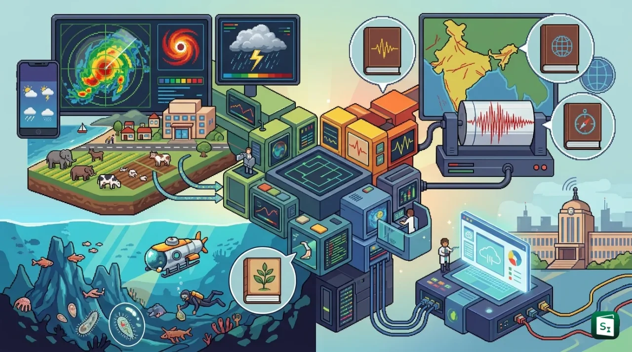
The Ministry of Earth Sciences (MoES) celebrated its 20th Foundation Day at Prithvi Bhawan in New Delhi, with Secretary Dr N Kalaiselvi presiding over the event. The occasion marked two decades of India’s work in weather forecasting, oceanography, seismology and polar research, and served as a platform for unveiling a series of new scientific initiatives and publications. Across its constituent institutions, the Ministry released advanced weather tools, earthquake catalogues and marine biodiversity manuals aimed at strengthening early warning systems and disaster preparedness.
MoES at 20: A Ministry Shaped by Two Decades of Science
The Ministry of Earth Sciences was established on 27 July 2006 when the government reorganised the Ministry of Ocean Development into a broader entity covering the oceans, atmosphere and solid earth, and it is on this date that the Ministry observes its Foundation Day each year. The roots of the institution go back to 1981, when the Department of Ocean Development (DOD) was created directly under the Prime Minister, following the success of India’s first Antarctic expedition launched from Goa the same year.
MoES functions as the nodal Ministry for earth system sciences, bringing together weather forecasting, climate research, ocean services, seismology and polar exploration under a single umbrella. Its annual Foundation Day celebrations have become an occasion to review scientific achievements and announce new initiatives that translate research into public services.
In her address, Dr Kalaiselvi described the Ministry as a complete value chain. The Ministry generates data through its Prithvi systems, which include a chain of high-performance computing facilities, delivers public weather services through Mission Mausam, and drives frontier ocean technology through the Deep Ocean Mission. She also drew attention to the unusual institutional mix within the Ministry, where a two-decade-old parent body oversees the more than 150-year-old India Meteorological Department (IMD), which began functioning in 1875.
IMD: New Centres, Better Cyclone Cover and Thunderstorm Tracking
The India Meteorological Department, the country’s national weather service and one of the oldest meteorological agencies in the world, announced the biggest batch of new initiatives. It established 13 Centres of Excellence (CoEs) devoted to specialised fields of meteorological research, each anchored at a regional meteorological centre. The CoEs include Desert Meteorology in Jaipur, Mountain Meteorology in Dehradun, Thunderstorm Research in Patna and Agrometeorological Research in Bengaluru. These centres are meant to deepen research into the weather phenomena most relevant to their regions, such as heat and dust storms in the desert belt and cloudbursts and heavy snowfall in the Himalayas.
The Department also upgraded its Cyclone Warning Centre (CWC) in Thiruvananthapuram into an Area Cyclone Warning Centre (ACWC). The upgraded centre now covers Kerala, Karnataka and Lakshadweep, giving these coastal regions dedicated cyclone monitoring instead of being served as an adjunct of a larger regional centre. The IMD cyclone warning machinery is built around RSMC New Delhi, the Regional Specialized Meteorological Centre, which coordinates tropical cyclone warnings for the north Indian Ocean, with the ACWCs and CWCs serving the Bay of Bengal and Arabian Sea coasts.
For sudden weather events, the IMD launched IMD NOVA, a web-based platform whose name stands for Nowcast Operation, Forecasting, Monitoring, Validation and Archival. A nowcast is an ultra-short-range forecast, valid for the next two to three hours, which is the window that matters most for thunderstorms, squalls and lightning. IMD NOVA brings together data from the lightning detection network and automatic weather stations to track, validate and store nowcast warnings, giving forecasters a single tool to issue rapid alerts for these fast-developing hazards.
WAADRU: Forecasting Livestock Disease from Weather
In a first-of-its-kind collaboration, the IMD signed a memorandum of understanding (MoU) with ICAR-NIVEDI, the National Institute of Veterinary Epidemiology and Disease Informatics, to set up the Weather Driven Animal Disease Risk Forecasting Unit (WAADRU). The unit will generate district-level livestock disease risk forecasts up to two months in advance, combining weather predictions with veterinary surveillance data.
The link between weather and animal disease is well established. Temperature, humidity and rainfall shape the breeding cycles of disease vectors such as ticks and flies, and stress from heat or heavy rain lowers animal immunity, making outbreaks more likely. An early warning that a district faces a rising risk of, say, a vector-borne disease gives veterinary officials time to deploy vaccination drives and preventive treatment before the disease spreads.
ICAR-NIVEDI, headquartered in Bengaluru, is India’s nodal institute for animal disease surveillance, monitoring and forecasting. It traces its origins to an All India Coordinated Research Project on animal disease monitoring and surveillance set up in 1987, which was later elevated and renamed to become the institute that today anchors the national animal disease reporting system. The significance of the work is underlined by the size of India’s livestock economy, which contributes roughly 4 to 5 per cent of the country’s gross domestic product and about a quarter of agricultural output, making animal health a direct national economic concern.
NCMRWF: AI Weather Guidance and a National Radar Mosaic
The National Centre for Medium Range Weather Forecasting (NCMRWF) brought out its own set of digital products. The centre, based in Noida, was established in 1988 as a mission-mode project to provide location-specific medium range forecasts, that is, predictions valid for three to ten days ahead. It is the institution responsible for running the numerical models that convert the nation’s weather observations into computer-generated forecasts.
NCMRWF launched the WINGS mobile application, which stands for Weather Information and Guidance System. The app delivers numerical weather prediction outputs, artificial intelligence and machine learning based forecasts, and real-time weather analysis directly to users, including farmers who can use it to time sowing, irrigation and harvesting decisions.
The centre also unveiled the National Doppler Weather Radar Reflectivity Mosaic, a near-real-time visualisation tool developed under Mission Mausam. A Doppler Weather Radar (DWR) measures both the intensity of rainfall and the movement of raindrops, which allows forecasters to see wind speed and detect rotating storm systems. India has been rapidly expanding its radar network from fewer than 40 operational radars, and the mosaic stitches the views from these individual radars into a single seamless national picture, making it far easier to track convective storms as they travel across state boundaries.
A Redesigned Open Data Portal
Alongside the app and the radar mosaic, NCMRWF upgraded its Open Data Portal with a larger collection of datasets. The redesigned portal now carries subseasonal-to-seasonal hindcasts, which are retrospective forecasts used to validate and improve long-range prediction models, a multi-source ensemble rainfall analysis that merges readings from several instruments, and ten years of operational ocean analysis produced using the NEMOVAR data assimilation system. By making this volume of data freely available, the portal supports researchers, academia and private industry in building their own forecasting applications.
NCS: Two Decades of Earthquake Data in One Release
The National Centre for Seismology (NCS), the nodal agency for earthquake monitoring in India, released two major publications covering seismic activity over the past decade. The Compendium of Monthly Seismological Bulletins for 2023 and 2024 provides validated earthquake catalogues, phase data and hypocentral parameters, which describe the exact location and depth of earthquake sources, compiled from the National Seismological Network (NSN). The NSN comprises more than 160 observatories spread across the country that continuously record ground motion.
The second release, the Strong Motion Atlas of India (2010-2020), is a compilation of strong ground-motion records and accelerograms, the digital traces of how strongly the ground shook during an earthquake. The atlas covers earthquakes of magnitude 4.0 and above and is intended for earthquake engineering and seismic hazard assessment. Seismic hazard assessment is the process of estimating how strongly the ground is likely to shake in a given area in the future, which in turn guides the earthquake-resistant design of buildings, dams and bridges.
NCS was formed in 2014 by bringing together the seismological services of the IMD, its earthquake risk evaluation centre and the research divisions working on earthquakes, so that monitoring and research could function as a single unit. Its data feeds directly into India’s seismic zoning framework, under which the country is divided into four zones, from Zone II (low risk) to Zone V (very high risk), covering the Himalayan arc and the northeastern states. A reliable record of strong ground motion is critical for refining these zones and for updating the building codes that keep lives safe during earthquakes.
CMLRE: Mapping Marine Biodiversity in India’s Waters
The Centre for Marine Living Resources and Ecology (CMLRE), based in Kochi, released two taxonomic manuals that document the microscopic and the deep-water life of India’s seas. The Pictorial Identification Manual for Tintinnid Ciliates of the Eastern Arabian Sea covers 100 species of tintinnids, a group of single-celled protozoan plankton that build tiny vase-shaped shells called loricae. Tintinnids are an important link in the marine food web, grazing on smaller phytoplankton and serving as food for fish larvae, and because they respond quickly to changes in temperature and salinity, they act as sensitive biological indicators of ocean health and climate change.
The second manual, Seamount-Associated Animals of the Indian Exclusive Economic Zone (Part I: Lakshadweep Sea), documents 225 species found around seamounts, which are undersea mountains rising from the ocean floor. Because they push nutrient-rich water upward and create hard surfaces in otherwise open ocean, seamounts attract dense communities of fish, corals and invertebrates and function as biodiversity hotspots. The volume covers the seamounts of the Lakshadweep Sea, part of India’s Exclusive Economic Zone (EEZ), the area up to 200 nautical miles from the coastline over which India has sovereign rights to explore and use marine resources.
Alongside these guides, CMLRE issued Standard Operating Procedures (SOPs) for the collection, preservation and analysis of marine biological samples. The protocols combine classical taxonomy, in which species are identified through physical features, with molecular systematics and genomics, reflecting the modern practice of confirming species identity using DNA. Together, the manuals and protocols strengthen India’s scientific capacity to inventory its marine biodiversity, a task that grows more urgent as deep-sea mining and fishing pressures intensify in the Indian Ocean.
Why the Launches Matter for the Bigger Picture
The announcements of the Foundation Day fit into the wider transformation of India’s earth sciences under Mission Mausam, the flagship programme approved by the Union Cabinet in September 2024 with an outlay of ₹2,000 crore over two years. The mission is designed to make India a weather-ready and climate-smart nation by expanding observation infrastructure, including dozens of new Doppler weather radars, radio sondes, wind profilers and automatic weather stations, and by pushing the resolution of forecasts down to a village level. The radar mosaic and the WINGS app are direct products of this mission, while the IMD Centres of Excellence bring its research ambitions closer to the ground.
The same logic of converting science into public service runs through the other releases. Better nowcast tools for thunderstorms matter because lightning and squalls are among the most frequent weather-related killers in India, and their warnings are only useful within a short lead time. District-level animal disease forecasts address a gap in an agricultural economy where livelihoods depend on livestock health. Seismological catalogues and the strong motion atlas strengthen the engineering base that protects lives in a country where a large part of the territory sits in high-risk seismic zones.
The Foundation Day also highlighted the Deep Ocean Mission, approved by the Cabinet in 2021 with an estimated cost of ₹4,077 crore across its first phases. The mission, implemented by MoES, seeks to explore the deep ocean through the Samudrayaan manned submersible programme, to develop technologies for underwater mining and to inventory the living resources of the deep sea. The CMLRE’s marine manuals and the seabed exploration work in the Central Indian Ocean Basin are building blocks of this effort, connecting scientific inventory to the country’s broader blue economy ambitions.
Key Takeaways
- The Ministry of Earth Sciences (MoES) celebrated its 20th Foundation Day at Prithvi Bhawan, New Delhi, with Secretary Dr N Kalaiselvi presiding.
- The India Meteorological Department (IMD), established in 1875, set up 13 Centres of Excellence for specialised research, including Desert Meteorology in Jaipur and Mountain Meteorology in Dehradun.
- The Thiruvananthapuram Cyclone Warning Centre was upgraded to an Area Cyclone Warning Centre (ACWC) covering Kerala, Karnataka and Lakshadweep.
- IMD NOVA, meaning Nowcast Operation, Forecasting, Monitoring, Validation and Archival, is a web platform for tracking and validating thunderstorm nowcasts.
- The IMD and ICAR-NIVEDI signed an MoU to set up WAADRU, a unit that will forecast district-level livestock disease risk up to two months in advance.
- NCMRWF launched the WINGS mobile app and the National Doppler Weather Radar Reflectivity Mosaic under Mission Mausam, which has a ₹2,000 crore outlay.
- The National Centre for Seismology (NCS), formed in 2014, released the Strong Motion Atlas of India (2010-2020) for earthquakes of magnitude 4.0 and above.
- CMLRE, based in Kochi, released marine manuals covering 100 Tintinnid ciliate species and 225 seamount-associated species.