

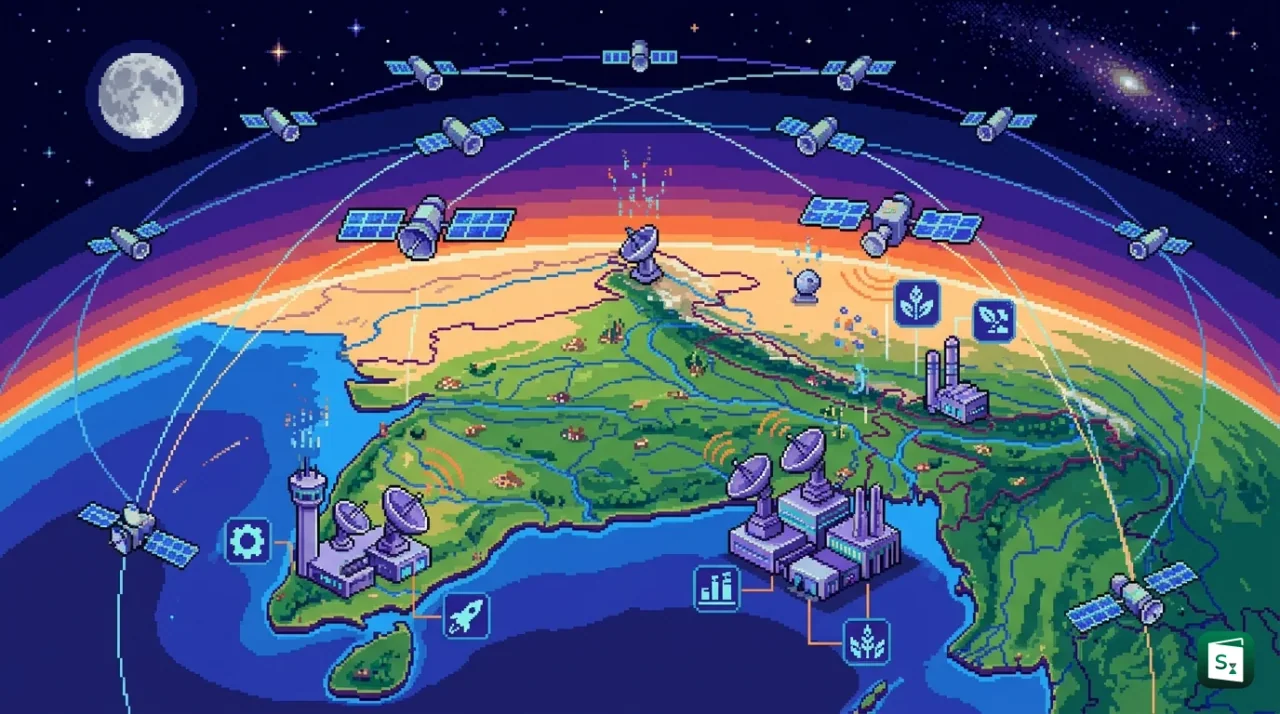
The Indian National Space Promotion and Authorisation Centre (IN-SPACe) has approved an agreement to build India’s first fully indigenous and commercial Earth Observation (EO) constellation under a Public Private Partnership (PPP) model. The agreement signed on 21 January 2026 with the private consortium Allied Orbits Pvt Ltd will see an investment of over ₹1,200 crore for a 12-satellite network built and operated entirely by Indian firms. Expected to be fully operational by 2029, the project marks a historic shift from government-owned satellites to privately owned national space infrastructure.
What Has Been Approved?
IN-SPACe, the single window nodal agency for private space activities under the Department of Space (DoS), selected the Pixxel-led consortium as the winning bidder for the Earth Observation Public Private Partnership (EO-PPP) programme. The selection was announced on 12 August 2025 after a competitive process in which three consortia were technically shortlisted, and the final financial bid assessment was completed. The formal concession agreement was then signed on 21 January 2026 in Bengaluru.
Under the agreement, the consortium will design, build, own and operate a constellation of 12 state of the art EO satellites over the next five years. This is the first time in Indian space history that a private group will invest its own capital, more than ₹1,200 crore, to create a national level EO system. Notably, the consortium submitted a zero cost bid, meaning it voluntarily forwent up to ₹350 crore of government support that was available under the PPP framework. By self funding, the consortium retains greater commercial flexibility while guaranteeing priority data access to the Government of India.
The project is structured as a satellite as a service model. The government will provide strategic, technical and policy support, but the private players will handle end to end execution. This includes manufacturing the satellites in India, launching them on Indian rockets, setting up ground stations for control and data reception, and commercialising the imagery and analytics for domestic and global markets.
The constellation was initially announced as India’s first Earth Observation Satellite System (EOSS) to be built fully in India, operated from India and controlled from India, strengthening data sovereignty at a time when India still sources high resolution imagery from foreign providers for several applications.
Understanding IN-SPACe and India’s Space Reforms
To understand why this agreement is significant, it is important to know what IN-SPACe is and how India’s space sector has changed since 2020.
IN-SPACe stands for Indian National Space Promotion and Authorisation Centre. The government announced its creation in June 2020 and operationalised it as an autonomous, single window agency under the Department of Space. It is headquartered at Bopal, Ahmedabad in Gujarat, with a regional presence at Antariksh Bhavan in Bengaluru. Its chairman is Dr. Pawan Kumar Goenka, former managing director of Mahindra and Mahindra. The agency acts as a bridge between the Indian Space Research Organisation (ISRO), which was established in 1969 and brought under the Department of Space in 1972, and private players known as Non Government Entities (NGEs).
IN-SPACe has three core roles, to promote, enable and authorise private space activities, and also to supervise them to ensure national security and compliance with international obligations. Its three directorates are the Promotion Directorate, Technical Directorate and Programme Management and Authorisation Directorate. It facilitates access to ISRO facilities, evaluates business proposals, issues authorisations for launches and satellite operations, and helps startups with technology transfer and testing.
The Four Pillars of India’s Space Architecture
The reforms that created IN-SPACe were formalised in the Indian Space Policy 2023, approved by the Cabinet Committee on Security in April 2023. The policy ended ISRO’s long standing role as both player and referee and clearly divided responsibilities among four pillars.
| Pillar | Role |
|---|---|
| Department of Space (DoS) | Overall policy making and implementation of the space programme, based in Bengaluru at Antariksh Bhavan |
| ISRO | Research and development of new technologies, deep space and scientific missions such as Chandrayaan and Gaganyaan |
| IN-SPACe | Authorisation, regulation and promotion of private sector activities, acting as the single window for NGEs |
| NewSpace India Limited (NSIL) | Commercial arm under DoS, incorporated in March 2019 in Bengaluru, which takes operational missions to market, procures launches and aggregates user demand |
Before 2020, ISRO designed, built, launched and operated almost all Indian space assets and private firms were largely limited to supplying components. After the reforms, private companies can now legally design, build, own and operate rockets and satellites. The change in approach from a supply driven model to a demand driven model means NSIL and private firms now respond to actual user demand rather than ISRO pushing supply.
The results have been visible quickly. By mid 2026, IN-SPACe had received over 3,600 registered organisations and 9,500 plus users, signed more than 106 MoUs and issued over 130 authorisations, including for India’s first private rocket launch by Skyroot Aerospace in 2022. NSIL’s revenues grew from about ₹322 crore in 2021-22 to ₹3,246 crore in 2024-25, and private investment in the space sector crossed $618 million after the reforms. The government has also transferred Small Satellite Launch Vehicle (SSLV) technology to Hindustan Aeronautics Limited (HAL) for ₹511 crore and liberalised Foreign Direct Investment (FDI) in space, allowing up to 100 percent automatic route in component manufacturing, 74 percent in satellite manufacturing and 49 percent in launch vehicles from February 2024.
What Is the EO-PPP Model?
The Earth Observation Public Private Partnership (EO-PPP) is a dedicated framework created by IN-SPACe to let private industry build and run national grade EO infrastructure.
In simple terms, Earth Observation means gathering information about the Earth’s physical, chemical and biological systems using remote sensing satellites. These satellites carry cameras and sensors that image the land, oceans and atmosphere. India started this journey with IRS-1A in 1988, and today operates one of the largest remote sensing constellations in the world, including Resourcesat, Cartosat, Oceansat, RISAT and the EOS series. Data from these satellites support agriculture, forestry, water, urban planning, mineral prospecting, environment and disaster management through platforms like VEDAS and Bhuvan managed by ISRO’s Space Applications Centre.
Traditionally, all EO satellites were government owned and ISRO built. Under the EO-PPP model, the ownership and operation shift to the private sector while the government retains strategic oversight. A key feature is private investment and ownership, as the consortium funds, builds, owns and operates the satellites and the ground segment while the government does not own the hardware. At the same time, the government acts as anchor customer and facilitator, with agencies getting assured and priority access to high quality data for national needs while IN-SPACe provides technical guidance, policy support and authorisation. The model also provides commercial freedom, allowing the private operator to sell data and value added services to customers in India and abroad to create a revenue stream that sustains the constellation. Finally, it ensures indigenous execution, with satellites manufactured domestically, launched from Indian soil and controlled from Indian ground stations.
Two other consortia that reached the final technical stage show how competitive the process was. One was led by Astra Microwave Products Ltd, Hyderabad, with Bharat Electronics Ltd, Sisir Radar and Spectragaze Systems, and the other by GalaxEye Space, Bengaluru with CoreEL. After technical evaluation, the Pixxel-led group won on financial and commercial terms.
This makes the EO-PPP the first project where private parties partner directly with IN-SPACe to build satellites and run operations for spacecraft control and data dissemination, a first of its kind transaction in India’s space sector. Legal advisors for the deal were Trilegal for Pixxel and Shardul Amarchand Mangaldas for IIFCL Projects, which acted as the transaction adviser to IN-SPACe.
Meet Allied Orbits: The Four Member Consortium
The winning consortium is formally incorporated as Allied Orbits Pvt Ltd, a Special Purpose Vehicle led by PixxelSpace India Pvt Ltd. It brings together four Indian space startups with complementary strengths, covering hardware, launch integration, radar and analytics.
| Member | Headquarters | Founded | Core Strength in the Constellation |
|---|---|---|---|
| PixxelSpace India Pvt Ltd | Bengaluru | 2019 by Awais Ahmed and Kshitij Khandelwal | Hyperspectral and high resolution optical satellites, spacecraft manufacturing and mission lead |
| Dhruva Space Pvt Ltd | Hyderabad | 2012 | Full stack satellite platforms, launch deployers, ground stations and mission operations |
| PierSight Space Pvt Ltd | Ahmedabad | 2023 by Gaurav Seth and Vinit Bansal | Synthetic Aperture Radar (SAR) satellites, maritime surveillance and radar electronics |
| Satsure Analytics India Pvt Ltd | Bengaluru | Subsidiary KaleidEO builds payloads | Multispectral optical payloads and AI driven analytics for decision intelligence |
Pixxel is building the world’s highest resolution commercial hyperspectral constellation. Its three Firefly satellites, launched in early 2025 into a 550 km sun synchronous orbit, capture more than 135 spectral bands at around 5 metre resolution. Pixxel also operates Aurora, its Earth Observation Studio for data access, and plans a follow on Honeybee series covering up to 260 bands from visible to short wave infrared.
Dhruva Space offers end to end capabilities across space, launch and ground segments. It has flown payloads on ISRO’s PSLV Orbital Experimental Module (POEM) and provides satellite platforms and earth stations as integrated services.
PierSight is developing a SAR and AIS constellation for persistent ocean monitoring. Its role is to provide all weather, day and night radar imaging with fast delivery of analysis ready maritime alerts, such as for illegal fishing or oil spills.
SatSure, through KaleidEO, will contribute at least two optical multispectral satellites with a wide swath imager offering sub metre resolution and high coverage. Its larger value is in downstream analytics, where it combines satellite, aerial and LiDAR data with machine learning to deliver actionable insights for agriculture, infrastructure, finance and climate services.
Inside the 12-Satellite Constellation
The constellation will be deployed in low Earth orbit (LEO), in phases, with the first launches expected from 2027 and full deployment targeted by 2029. The phased approach ensures continuous service upgrades and expanded coverage as each batch joins the network.
It is designed as a multi sensor system, meaning different satellites carry different payloads that together provide a complete view of the Earth. This design reduces revisit time, which is the gap between two images of the same place, and enables both detailed and wide area coverage.
Four Types of Sensors on Board
The constellation combines four payload types. Panchromatic sensors provide single band, black and white imagery with the highest spatial detail, useful for mapping, urban planning and infrastructure monitoring. Multispectral sensors capture images in a few broad colour bands including visible and near infrared, which help assess crop health, classify land use and manage water resources. Hyperspectral sensors capture images in more than a hundred very narrow bands, with Pixxel’s Firefly sensors covering over 135 bands, allowing detection of subtle differences such as soil mineral composition, vegetation stress or oil leaks with far richer detail than standard satellites. Synthetic Aperture Radar (SAR) or Microwave SAR is radar based sensing that works through clouds and at night. Where optical sensors fail in monsoon cloud cover, SAR continues to deliver images, making it essential for flood mapping, border monitoring and maritime surveillance.
The data output is planned at two levels. Analysis Ready Data (ARD) is pre processed, calibrated imagery that customers can directly use. Value Added Services (VAS) are higher level products such as crop yield forecasts, water quality reports, infrastructure change detection and environmental compliance dashboards.
Applications span a wide set of national priorities. In agriculture, the data will feed systems like FASAL, NADAMS, CHAMAN and PMFBY for acreage estimation and insurance assessment. In disaster management, SAR and optical data will support near real time flood inundation maps, cyclone tracking and landslide monitoring in coordination with the National Disaster Management Authority (NDMA) and Ministry of Home Affairs. Other uses include climate monitoring, marine surveillance, forestry, infrastructure development and national security.
Why This Mission Matters for India
The agreement carries importance well beyond a single satellite project.
First, it builds data sovereignty. India has historically depended on foreign sources for high resolution and sub metre imagery, especially for strategic and commercial needs. A fully indigenous, privately operated constellation that is made in India, launched from India and controlled from India reduces that dependence and ensures that sensitive national data remains within the country.
Second, it signals maturity of the private space ecosystem. IN-SPACe chairman Dr. Pawan Goenka described the initiative as the coming of age of India’s private space industry, showing that Indian startups can lead large, commercially viable missions of national scale. The fact that a private consortium is willing to risk over ₹1,200 crore of its own capital without government subsidy reflects confidence in both technology and market demand.
Third, it aligns with India’s space economy goals. The government has set a target to grow the space economy from about $8.4 billion in 2022 to $44 billion by 2033, with exports of $11 billion. IN-SPACe leadership has noted that this kind of EO constellation will catalyse innovation, create thousands of high skill jobs and help capture a larger share of the global geospatial intelligence market, which is valued in billions of dollars. The operation of satellites on a commercial basis also supports the Atmanirbhar Bharat vision by creating domestic capability that can serve global customers.
Fourth, it strengthens governance and development outcomes. High revisit, high resolution data delivered through platforms like Bhuvan and VEDAS already helps 63 ministries and 36 states. A new multi sensor constellation with faster revisit and all weather SAR will improve decision making speed for crop forecasting, urban planning, water management and disaster response, directly supporting citizen welfare.
Finally, it sets a template for future PPPs. Success here will make it easier to replicate the model for communication satellites, navigation services and even launch infrastructure, accelerating the shift where ISRO focuses on research and development while industry handles routine operations, as envisioned in the Indian Space Policy 2023.
The Way Forward
The consortium will now move to detailed design, manufacturing and ground infrastructure creation. Over the next four to five years, satellites will be built at Pixxel’s manufacturing facility and partner sites, integrated with payloads from KaleidEO and PierSight, and launched in batches from Satish Dhawan Space Centre, Sriharikota.
For the model to deliver its full promise, three issues will be critical. Clear data sharing norms must ensure that commercial viability does not compromise priority access for government during emergencies. Second, timely authorisations and access to test facilities via IN-SPACe must keep private timelines on track, a lesson that led to the call for statutory backing through a future Indian Space Activities Act. Third, the commercial market must scale, as global competition in EO is intense, with players in the US, Europe and China already operating large constellations.
If these steps are managed well, the EO-PPP will not just add 12 satellites to orbit. It will demonstrate that India can deliver critical national infrastructure through private leadership, a step that could reshape how the country builds its space capabilities for the next decade.
Key Takeaways
- IN-SPACe signed an agreement on 21 January 2026 with Allied Orbits Pvt Ltd to build India’s first indigenous fully commercial Earth Observation (EO) constellation under the EO-PPP model.
- The winning consortium led by PixxelSpace India Pvt Ltd includes Dhruva Space, PierSight Space and Satsure Analytics India, and was selected after competing with two other technically shortlisted groups.
- The consortium will design, build, own and operate 12 multi sensor EO satellites with an investment of over ₹1,200 crore through a zero cost bid that forwent up to ₹350 crore in government support.
- Satellites will carry panchromatic, multispectral, hyperspectral and Synthetic Aperture Radar (SAR) payloads, to be launched in phases from 2027 and fully operational by 2029 in low Earth orbit.
- IN-SPACe, formed in June 2020 as an autonomous agency under the Department of Space and headquartered at Bopal, Ahmedabad, is the single window authoriser under the Indian Space Policy 2023.
- The project aims to ensure data sovereignty, support applications in agriculture, disaster management and national security, and help grow India’s space economy from $8.4 billion in 2022 to $44 billion by 2033.