

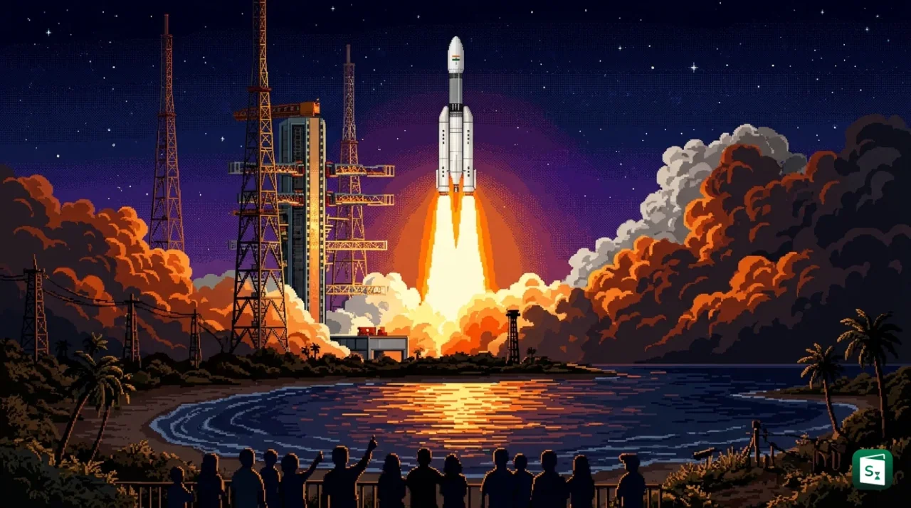
The Indian Space Research Organisation (ISRO) launched the NVS-03 navigation satellite on 30 October 2026 at 11:51 pm from the Second Launch Pad at the Satish Dhawan Space Centre in Sriharikota. The Geosynchronous Satellite Launch Vehicle (GSLV-F18) placed the 2,250 kg satellite in its intended elliptical Geosynchronous Transfer Orbit (GTO) in about 18 minutes. The mission is the 20th flight of GSLV and restores Navigation with Indian Constellation (NavIC), India’s regional navigation system, to the minimum four working satellites needed for positioning.
What Is NavIC and Why Does India Need Its Own Navigation System?
NavIC stands for Navigation with Indian Constellation. It is India’s independent regional satellite navigation system for positioning, navigation and timing services. NavIC was earlier called the Indian Regional Navigation Satellite System (IRNSS). Both names refer to the same system.
The system is designed to provide accurate position and time over India and a region extending about 1,500 km beyond the Indian landmass. This coverage spans the Indian subcontinent and large parts of the Indian Ocean. It supports road and marine navigation, aircraft tracking, disaster management, precision farming, fleet monitoring and timing for power grids, telecom networks and financial systems.
The idea gained strength after the Kargil conflict in 1999, when India could not fully rely on the United States owned Global Positioning System (GPS) for military needs. The government approved IRNSS in 2006. The Indian Space Research Organisation (ISRO), headquartered in Bengaluru and formed in 1969, built the constellation. After the launch of IRNSS-1G in April 2016, Prime Minister Narendra Modi named the system NavIC and dedicated it to the nation.
NavIC works with a planned constellation of seven satellites and a network of ground stations that operate round the clock. Three satellites are placed in geostationary orbit. Four are placed in inclined geosynchronous orbit. The ground network includes a control centre, precise timing facility, ranging stations and monitoring stations.
NavIC offers two services. The Standard Positioning Service (SPS) is open for civilian users. The Restricted Service (RS) is an encrypted service for strategic users, including defence forces. SPS signals are interoperable with other global systems such as GPS, GLONASS, Galileo and BeiDou. NavIC SPS signals are designed to give position accuracy better than 20 metres and timing accuracy better than 40 to 50 nanoseconds. In 2020, the International Maritime Organization recognised NavIC for navigation in Indian Ocean waters.
What Happened in the GSLV-F18 NVS-03 Mission?
The ISRO launched GSLV-F18 carrying NVS-03 on 30 October 2026 at 11:51 pm from the Second Launch Pad at Sriharikota. The rocket is about 50 metres tall with a lift off mass of about 420 tonnes. It uses a 3.4 metre diameter metallic payload fairing.
After a flight of about 18 minutes, the three stages performed as planned, including the indigenous cryogenic upper stage. The vehicle placed NVS-03 into Geosynchronous Transfer Orbit. ISRO targeted a perigee of 170 km and an apogee of 37,023 km. The satellite was actually injected into a 170.3 km by 38,080 km orbit at an inclination of about 20.75 degrees. ISRO Chairperson V. Narayanan described it as one of the best performances by the vehicle.
The solar panels deployed soon after separation. Power generation is normal and the satellite health is good. The first orbit raising burn was completed on 31 October 2026 at 4:48 pm using the Liquid Apogee Motor for 2,174.8 seconds. The orbit after this burn was about 5,477.6 km by 37,833.4 km. More burns will place NVS-03 in its final geosynchronous slot at 111.75 degrees East.
The mission is the 20th flight of GSLV. It was also the fastest turnaround between two GSLV flights. The previous flight, GSLV-F17 with EOS-05, lifted off on 4 September 2026. The gap was only 56 days. Thomas Kurian served as the GSLV Project Director and Mission Director for the NVS-03 flight.
What Is Special About the NVS-03 Satellite?
NVS-03 is the third satellite in India’s second generation navigation series. The series includes five satellites, NVS-01 to NVS-05, built to continue the services of the first generation IRNSS satellites. NVS-03 is also counted as the 12th satellite in the overall IRNSS fleet and is listed as IRNSS-1L. It weighs about 2,250 kg and is built on the I-2K bus. The satellite is designed for a mission life of more than 12 years.
NVS-03 carries navigation payloads in three frequency bands, L1, L5 and S band. The L1 band is new compared to the first generation, which used only L5 and S band. L1 makes NavIC signals compatible with common civilian receivers, smartphones, smartwatches and fitness trackers. This helps wider adoption in low power and mass market devices.
NVS-03 also carries an indigenously developed rubidium atomic clock, along with procured atomic clocks. The indigenous clock was developed by the Space Applications Centre in Ahmedabad. Clocks on board provide the precise time reference that navigation needs.
| Feature | NVS-03 Details |
|---|---|
| Series | Third of NVS-01 to NVS-05, also called IRNSS-1L |
| Weight | About 2,250 kg |
| Bus | I-2K |
| Bands | L1, L5 and S |
| Clocks | Indigenous rubidium atomic clock plus procured clocks |
| Final slot | Geosynchronous orbit at 111.75 degrees East |
| Design life | More than 12 years |
Why the Indigenous Atomic Clock Matters
An atomic clock counts time by measuring vibrations of atoms. Navigation satellites need this extreme accuracy. A receiver on the ground calculates its position by measuring tiny differences in arrival time of signals from at least four satellites. An error of even a few billionths of a second can shift the calculated position by several metres.
Earlier NavIC satellites faced failures of imported rubidium atomic clocks. The failure of clocks on IRNSS-1A and the end of life of IRNSS-1F cut the usable fleet. NVS-01, launched on 29 May 2023 by GSLV-F12, was the first to fly an indigenous atomic clock. NVS-03 carries forward that fix. It adds redundancy, so Indian navigation does not depend on a single imported component.
How Many NavIC Satellites Are Operational Now?
At least four operational satellites are needed for a receiver to calculate its own position without help from other systems. This is called standalone positioning. Timing service can continue with fewer satellites.
In July 2026, the government informed Parliament that only three satellites were providing positioning, navigation and timing services. These were IRNSS-1B, IRNSS-1I and NVS-01. The IRNSS-1F satellite had completed its 10 year life and its atomic clock had stopped working. So NavIC could give timing but could not give standalone positioning. Defence users continued with a combination of NavIC and other global systems.
NVS-03 restores the fleet to four. It brings back the minimum configuration for basic positioning. Full service with high accuracy and continuous coverage will still need the full constellation. ISRO plans two more satellites, NVS-04 and NVS-05, which are in advanced stages of preparation.
| Satellite | Launch | Status |
|---|---|---|
| IRNSS-1B | 4 April 2014 | Providing services |
| IRNSS-1I | 12 April 2018 | Providing services |
| NVS-01 (IRNSS-1J) | 29 May 2023 on GSLV-F12 | Providing services, first with L1 and indigenous clock |
| NVS-02 (IRNSS-1K) | 29 January 2025 on GSLV-F15 | Stranded in transfer orbit after propulsion failure, not usable in final slot |
| NVS-03 (IRNSS-1L) | 30 October 2026 on GSLV-F18 | Successfully placed in transfer orbit, orbit raising in progress, restores fourth satellite |
| NVS-04, NVS-05 | Planned | Under preparation |
The NVS-02 failure explains why NVS-03 is vital. NVS-02 was ISRO’s 100th launch from Sriharikota. The rocket placed it correctly in transfer orbit. But the valves that let oxidiser into the engine for orbit raising did not open. The engine could not fire. An apex committee found that the drive signal did not reach the pyro valve in the oxidiser line, most likely because contacts in the connector disengaged in both the main and backup paths. ISRO applied the committee’s fixes on CMS-03, launched on 2 November 2025 by LVM3-M5, where the pyro system worked normally. The same fixes were carried into later missions.
What Is Geosynchronous Transfer Orbit?
Geosynchronous Transfer Orbit, or GTO, is an intermediate elliptical orbit used to carry a satellite from low Earth to its final high orbit. The Geosynchronous Satellite Launch Vehicle places the satellite in this path. The satellite then uses its own engine to become circular and high.
A GTO has a low perigee and a high apogee. Perigee is the point closest to Earth. Apogee is the point farthest from Earth. For NVS-03, the perigee was about 170 km and the apogee was about 38,080 km. Near the apogee, the satellite fires its Liquid Apogee Motor. This raises the perigee step by step. After several burns, the orbit becomes near circular at about 35,786 km above the equator. There the satellite appears to stay over the same longitude. That fixed position is essential for navigation and communication.
Where Is Sriharikota Located?
The Satish Dhawan Space Centre (SDSC) is located at Sriharikota in Tirupati district of Andhra Pradesh. It sits on an island off the east coast, between Pulicat Lake and the Bay of Bengal. It is about 80 to 105 km north of Chennai. The centre began with a sounding rocket launch in 1971 and is India’s main spaceport.
Sriharikota lies close to the equator. Launches towards the east gain extra speed from Earth’s rotation. The sea to the east also makes flight paths safe. The centre has two operational pads, the First Launch Pad and the Second Launch Pad. The Second Launch Pad (SLP) became operational in 2005 with PSLV-C6. It was designed and built by MECON Limited. It follows an integrate, transfer and launch concept and can handle PSLV, GSLV and LVM3. GSLV-F18 lifted off from this pad.
What Is GSLV and How Does It Differ From PSLV?
GSLV stands for Geosynchronous Satellite Launch Vehicle. GSLV Mark II is a three stage vehicle developed by ISRO to place communication and navigation satellites of up to about 2,250 kg into GTO. The first flight was on 18 April 2001. The first flight with an indigenous cryogenic stage was GSLV-D5 on 5 January 2014. GSLV-F18 is the 20th flight.
The first stage is a solid core, S139, with four liquid strap on boosters called L40H. The second stage, GS2, uses the Vikas engine with UH25 and nitrogen tetroxide. The third stage is the indigenous Cryogenic Upper Stage (CUS) with the CE-7.5 engine. It burns liquid hydrogen and liquid oxygen stored at very low temperature. This combination gives high efficiency and is suited for the final push to high orbits.
PSLV stands for Polar Satellite Launch Vehicle. It is a four stage vehicle used mainly for Earth observation satellites to low and Sun synchronous polar orbits. It can carry about 1,750 kg to a 600 km polar orbit and about 1,400 kg to GTO. GSLV is built for heavier payloads to high orbits. LVM3 is the heaviest of the three and can carry about 4,000 kg to GTO.
| Feature | PSLV | GSLV Mark II |
|---|---|---|
| Full form | Polar Satellite Launch Vehicle | Geosynchronous Satellite Launch Vehicle |
| Stages | Four, solid and liquid in sequence | Three, solid core with four liquid strap ons, liquid second stage, cryogenic third stage |
| Lift off mass | About 320 tonnes in XL version | About 420 tonnes |
| Height | About 44 metres | About 51.73 metres |
| Main use | Earth observation to polar and low orbits | Communication and navigation to GTO |
| Capacity to GTO | About 1,400 kg | About 2,250 kg |
NavIC differs from GPS in scale and control. GPS is a United States system with global coverage using more than 30 satellites. NavIC is a regional Indian system with seven planned satellites and coverage limited to India plus 1,500 km around it. GPS is controlled by another country. NavIC gives India sovereign control over its positioning and timing, including an encrypted service for strategic users.
Key Takeaways
- ISRO launched the NVS-03 navigation satellite on 30 October 2026 on GSLV-F18 from Sriharikota.
- NVS-03 weighs about 2,250 kg and was placed in Geosynchronous Transfer Orbit in about 18 minutes on the 20th flight of GSLV.
- NVS-03 is the third satellite of the NVS-01 to NVS-05 series and restores NavIC to the minimum four operational satellites needed for positioning.
- The satellite carries L1, L5 and S band signals and an indigenous rubidium atomic clock for precise timing.
- NavIC, earlier called IRNSS, covers India plus 1,500 km beyond its borders and was approved in 2006 after the Kargil conflict highlighted the need for an independent system.