

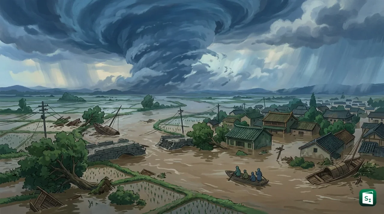
Typhoon Dolphin became the strongest tropical cyclone to strike China in 2026 after making two landfalls in Zhejiang Province on August 9. The storm brought destructive winds to the coast and then carried heavy moisture inland, producing historic rainfall, floods and transport disruption across eastern, central and northern China. Its effects reached far beyond the landfall zone, showing how a tropical cyclone can become a large-scale inland flood hazard even after weakening.
What Happened in China?
Double Landfall in Zhejiang
Typhoon Dolphin was the 13th typhoon of 2026 in China’s weather reporting. It first reached the coast near Yuhuan in Taizhou City, Zhejiang, at about 5:30 p.m. on August 9, with maximum sustained winds of more than 150 kilometres per hour near its centre. It made a second landfall near Yueqing in Wenzhou City at about 6:40 p.m., roughly an hour after the first landfall.
The storm had a circulation extending about 1,300 kilometres. This wide circulation helped spread strong winds and rain over a large area instead of limiting the damage to the immediate coastline. Dolphin weakened after moving inland, but its remnant circulation continued to transport moisture and produce intense rain.
In meteorology, a tropical cyclone is a rotating, low-pressure storm that forms over warm tropical oceans. The same type of storm is called a typhoon in the western North Pacific, a hurricane in the Atlantic and eastern North Pacific, and a cyclone in the North Indian Ocean and South Pacific. The World Meteorological Organization coordinates regional naming systems, while the China Meteorological Administration, through its National Meteorological Center, issues China’s official forecasts and warnings.
Why Dolphin Produced Widespread Rainfall
From Coastal Storm to Inland Rain System
Dolphin’s danger did not end when its winds weakened. The storm’s large cloud system carried warm, moisture-rich air inland. As the circulation moved north-westward, it interacted with other weather systems, including colder air in northern China. This interaction supported prolonged and sometimes extreme rainfall well away from Zhejiang.
The National Meteorological Center expected heavy precipitation in more than 10 provincial-level regions. The main areas included Zhejiang, Shanghai, Jiangsu, Anhui, Henan, Hubei, Shandong, Hebei, Beijing and Tianjin. The remnant vortex was also expected to slow down near the borders of Hubei, Henan and Anhui, allowing rain to persist over the same areas.
Rainfall from the storm broke daily records at five national meteorological observation stations in Zhejiang and Shanghai. Some locations in Taizhou recorded more than 700 millimetres of rain between August 8 and the early hours of August 10. In Henan, Queshan County recorded 286.6 millimetres in 24 hours, while parts of Beijing were forecast to receive more than 150 millimetres in 24 hours.
Extent of the Damage and Emergency Response
Floods, Transport Disruption and Evacuations
The storm caused urban waterlogging, fallen trees, damaged power facilities and landslides in Zhejiang and neighbouring provinces. Flood conditions spread into Anhui, where the Pihe River recorded its first flood of 2026 after reaching its warning level. In the Taihu Lake basin, the lake level reached its warning mark and authorities declared the first numbered flood of the year for the basin.
The impact on transport was also extensive. Train services were suspended on several routes connecting Hubei with Beijing, Xi’an and other major cities. Ferry services and river traffic were halted in affected areas, while hundreds of flights were cancelled in Shanghai. More than one million people were evacuated from vulnerable locations in eastern China before or during the storm’s landfall.
China uses a graded emergency system to match government action with the level of risk. Authorities in Zhejiang cities including Wenzhou, Taizhou and Ningbo activated Level I responses before landfall, while flood-control responses were raised in Henan, Beijing, Tianjin and other regions as the rain moved inland. These measures included closing schools and tourist sites, moving fishing vessels to safety, opening emergency facilities and restricting movement in flood-prone areas.
Government Relief Measures
The National Development and Reform Commission allocated 200 million yuan from the central budget for restoration work in Zhejiang. The money was intended for damaged roads, water-conservation facilities, schools and hospitals. The Ministry of Finance and the Ministry of Emergency Management also released 180 million yuan from the central natural-disaster relief fund, including 120 million yuan for emergency response and rescue work in Jiangsu, Zhejiang, Anhui, Fujian and Jiangxi.
The Ministry of Water Resources maintained a Level III emergency response in Zhejiang and directed officials to inspect small and medium-sized rivers, reservoirs, dykes and areas exposed to mountain torrents. This is important because intense rainfall after landfall can cause secondary disasters such as flash floods, landslides, dam stress and urban flooding even when the cyclone itself has weakened.
Why the Typhoon Matters Beyond the Coast
Typhoon Dolphin highlights the importance of impact-based forecasting. A coastal warning based only on maximum wind speed may not show the full danger when a storm has a very large circulation and a slow-moving remnant. Rainfall totals, river levels, reservoir capacity, soil saturation and the possibility of landslides must be assessed together.
The event also underlines the vulnerability of densely populated and economically important regions in eastern China. Zhejiang, Shanghai, Jiangsu and Anhui contain major ports, manufacturing centres, transport links and urban settlements. Flooding in these areas can disrupt electricity, railways, factories, trade and public services even when direct wind damage is limited.
Regional cooperation is important because the western North Pacific is the world’s most active tropical cyclone basin. The ESCAP/WMO Typhoon Committee, an intergovernmental body supported by the United Nations Economic and Social Commission for Asia and the Pacific and the World Meteorological Organization, promotes shared forecasting knowledge, disaster-risk reduction and technical cooperation among affected countries. Events such as Dolphin show why early warnings must be linked with evacuation plans, resilient infrastructure and coordinated river-basin management.
China’s response also shows the value of connecting meteorological forecasts with water-resources management. Forecasts from the National Meteorological Center can guide reservoir operations, river patrols, transport restrictions and evacuation decisions. The next challenge is to maintain these measures after landfall, because a weakening cyclone can still cause the most severe flooding when its rainfall bands stall over already saturated ground.
Key Takeaways
- Typhoon Dolphin became the strongest tropical cyclone to strike China in 2026.
- Dolphin made its first and second landfalls in Zhejiang Province on August 9, 2026.
- Dolphin was the 13th typhoon of 2026 in China’s weather reporting.
- Rainfall linked to Dolphin broke daily records at five national meteorological observation stations in Zhejiang and Shanghai.
- The storm’s remnants affected more than 10 provincial-level regions, including Beijing and Tianjin.
- China allocated 200 million yuan from the central budget for restoration work in Zhejiang after the typhoon.