

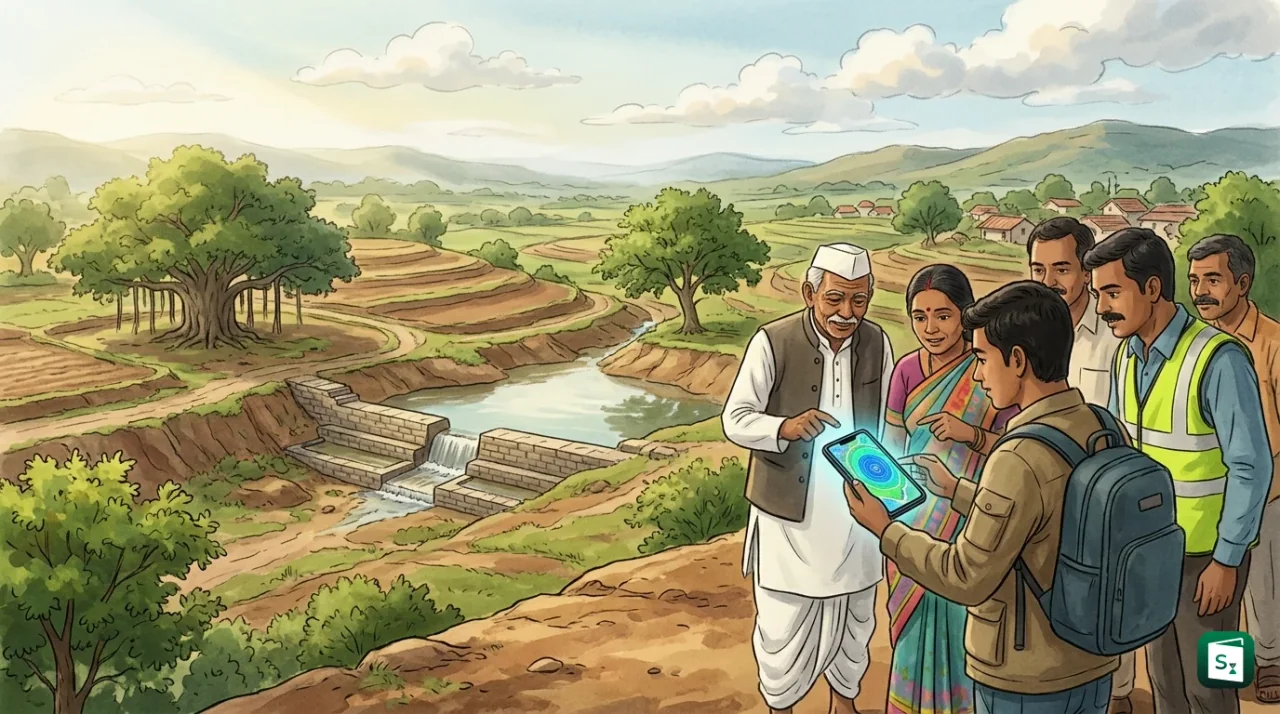
Union Minister for Jal Shakti C. R. Patil has launched the Punah Bharan mobile application to support scientific groundwater recharge planning across India. The app has been developed by BISAG-N in collaboration with the National Water Mission (NWM). It helps users locate possible artificial recharge zones within 3 km of their position and choose suitable recharge structures based on local conditions.
What Is Groundwater Recharge and Artificial Recharge?
Groundwater recharge is the process in which surface water moves downward through soil and rock to refill underground aquifers that store groundwater. Artificial recharge of groundwater uses human built structures to speed up this natural process by capturing rainwater and runoff and guiding it into the ground.
Groundwater is water that collects below the land surface in cracks and pores of soil, sand and rock. The layer of rock or sediment that holds this water and allows it to flow is called an aquifer. The upper level of this stored water is called the water table. Rain and snowmelt seep down slowly to refill aquifers. This is natural recharge.
Artificial recharge copies and speeds up nature. It traps monsoon runoff that would otherwise flow away or evaporate. Common methods include percolation tanks, check dams, recharge pits, recharge shafts, borewell recharge and rooftop rainwater harvesting systems that send filtered rainwater into the ground. Such structures are most useful in hard rock areas and in cities where roads and buildings block natural soaking of water.
Groundwater is formed over long periods as part of the water cycle. When rain falls, a part flows into rivers, a part evaporates and a part soaks into the soil. The soaked portion travels down past plant roots into the saturated zone. Overuse happens when pumping for irrigation, drinking and industry removes water faster than recharge can replace it. This lowers the water table, dries up wells and increases pumping costs.
Punah Bharan App: How the 3 km Zone Mapping Works
The Punah Bharan mobile application brings scientific groundwater data to the phone of a field worker, farmer or local planner. The word Punah Bharan means recharging again. The app uses location based mapping to show where artificial recharge is likely to succeed.
When a user opens the Punah Bharan app, the app reads the location of the phone. It then displays potential artificial recharge zones within a radial distance of 3 km. This short radius keeps the guidance practical. A farmer or village body can act within walking or working distance instead of studying a large district map.
The Punah Bharan app also suggests suitable recharge structures based on local conditions. Local conditions include soil type, slope, rainfall pattern, depth of the water table and rock type. For example, a flat sandy area may suit a percolation tank or recharge pond. A hard rock slope may suit a check dam or gully plug. A house or school building may suit rooftop rainwater harvesting linked to a recharge pit. A dried borewell may suit borewell recharge with a filter chamber.
| Local Setting | Suitable Artificial Recharge Structure |
|---|---|
| Open flat land with sandy soil | Percolation tank or recharge pond |
| Small stream or drain with seasonal flow | Check dam or anicut |
| Individual house, school or office building | Rooftop rainwater harvesting with recharge pit |
| Failed or low yield borewell | Borewell recharge with filter and desilting chamber |
| Sloping farmland with runoff | Contour trench, farm pond or gully plug |
The Punah Bharan app therefore reduces guesswork. Earlier, a village had to depend on general advice or costly field surveys. Now local users can see science based options on a map and plan works under ongoing water conservation drives.
Launched by C. R. Patil: Ministry and Institutional Framework
The Punah Bharan app was launched by Union Minister C. R. Patil. Chandrakant Raghunath Patil is the Union Minister for Jal Shakti (as of October 2026). He is a four time Member of Parliament from Navsari in Gujarat and took charge of the Jal Shakti portfolio in June 2024.
The Ministry of Jal Shakti was formed in May 2019 by merging the Ministry of Water Resources, River Development and Ganga Rejuvenation with the Ministry of Drinking Water and Sanitation. The Ministry has two main departments. The Department of Water Resources, River Development and Ganga Rejuvenation handles rivers, groundwater, dams and the National Water Mission. The Department of Drinking Water and Sanitation handles rural drinking water through the Jal Jeevan Mission and rural sanitation through the Swachh Bharat Mission (Grameen).
The Central Ground Water Board (CGWB) works under the Ministry as the key agency for groundwater survey, monitoring and assessment. The CGWB prepares groundwater year books, maps water stressed blocks and guides artificial recharge policy. The Central Water Commission (CWC) handles surface water data and river projects. The Punah Bharan launch fits this setup. Policy direction comes from the Ministry, technical groundwater science comes from CGWB and allied bodies, field execution happens through states, and digital mapping support comes from BISAG-N.
What Is the National Water Mission?
The National Water Mission (NWM) is one of the eight national missions under the National Action Plan on Climate Change (NAPCC). The NAPCC was released by the central government in 2008 to respond to climate change. The National Water Mission was launched in 2011 to ensure integrated water resource management.
The National Water Mission works under the Ministry of Jal Shakti. Its core goals are conservation of water, reduction in wastage and equal distribution of water across states and sectors. The Mission promotes basin level planning, better storage of rainwater, recycling of wastewater and wider use of micro irrigation. It also supports the Jal Shakti Abhiyan and the Catch the Rain campaign.
The Jal Shakti Abhiyan was launched on 1 July 2019 as a mission mode water conservation drive. It first focused on 256 water stressed districts identified with help from the Central Ground Water Board. From 22 March 2021, the drive was expanded as Jal Shakti Abhiyan: Catch the Rain with the slogan Catch the rain, where it falls, when it falls. The campaign now covers all districts and promotes rainwater harvesting, renovation of traditional water bodies, borewell recharge, watershed work and afforestation. The Punah Bharan app gives this campaign a digital planning tool at the village and town level.
BISAG-N: The Technology Partner Behind the App
BISAG-N stands for the Bhaskaracharya National Institute for Space Applications and Geo-informatics. The institute is headquartered at Gandhinagar in Gujarat. It works in the field of satellite communication, remote sensing, geographic information systems and location based software.
The full form of BISAG is often searched as BISAG full form because the institute supports many central and state projects. BISAG-N develops maps, dashboards and mobile apps that combine satellite images with ground data. Examples include applications for land survey, crop monitoring, forest mapping, disaster support and the PM Gati Shakti platform for infrastructure planning.
In the Punah Bharan project, BISAG-N has combined space based layers such as terrain, land use, soil, rainfall and drainage with groundwater data from the National Water Mission system. The result is a simple mobile view. A user does not need to read complex hydrogeological reports. The app converts layers into clear zones and structure options. This use of geo-informatics makes recharge planning faster, cheaper and easier to repeat across districts.
Why Groundwater Recharge Matters for India
India holds about 18 percent of the world population but only about 4 percent of global freshwater resources. Average per capita water availability has fallen close to water stress levels. Groundwater meets more than 60 percent of irrigated farming needs and about 85 percent of rural drinking water needs. This heavy dependence has caused rapid depletion in many blocks.
A 2018 assessment by NITI Aayog warned that nearly 600 million people faced high to extreme water stress and that 21 major cities could face severe groundwater shortage by 2030. The Central Ground Water Board assessment continues to list many blocks as over exploited or critical, where annual extraction is higher than annual recharge. Paved cities make the problem worse because concrete stops rain from soaking into the soil.
The best way to recharge groundwater is to catch local rain and hold it long enough to seep down. Rooftop harvesting, cleaning and desilting of village tanks, revival of stepwells and johads, farm ponds and check dams all help. Monitoring of groundwater level through observation wells shows whether these steps are working.
The Punah Bharan app supports this shift from emergency water supply to planned recharge. It connects farmers, panchayats, urban bodies and line departments to the same map. Better siting of structures saves public money, improves well yields, protects drinking water sources and builds resilience against weak monsoons and climate change.
Key Takeaways
- The Punah Bharan app was launched by Union Jal Shakti Minister C. R. Patil for scientific groundwater recharge planning.
- The app was developed by BISAG-N, Gandhinagar in collaboration with the National Water Mission.
- The app identifies potential artificial recharge zones within a 3 km radial distance and suggests suitable recharge structures.
- The National Water Mission, launched in 2011 under the National Action Plan on Climate Change (2008), anchors the initiative.
- BISAG-N stands for the Bhaskaracharya National Institute for Space Applications and Geo-informatics.
- The Ministry of Jal Shakti, formed in May 2019, implements water goals through the Jal Shakti Abhiyan, launched in 2019, and Catch the Rain, expanded in 2021.